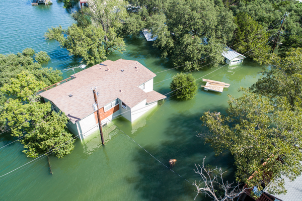
The US National Weather Service has unveiled experimental flood inundation maps with modelling capabilities to help agencies respond to the impacts of flooding.
The new maps initially cover east Texas, central Pennsylvania and parts of the Northeast, and have been added to the suite of NWS forecasting products.
“This new inundation modelling capability provides actionable information for emergency and water resource managers to prepare, mitigate and respond to flood impacts,” said David Vallee, the director of Service Innovation and Partnership Division at the National Water Centre.
“These services will dramatically improve our ability to provide impact based decision support services to our partners so they can preposition people and resources ahead of flood events.”
Flooding is the most frequent severe weather related threat and the costliest natural disaster occurrence in the United States.
New York, for example, experienced the wettest September in 140 years with torrential downpours causing significant disruption as flash flooding closed many subway stations, streets and one terminal at LaGuardia Airport.
The new NWS modelling services complement and support the issuance of flood watches and warnings through providing near real-time, high resolution street level visualisations showing where, when and how much flooding is forecast.
There are three products in the suite, beginning with a National Water Model Hourly Analysis which shows flood inundation based on streamflow analysis when flows are recognised as being at or above thresholds.
There is also a five day flood inundation forecast and another product which models river flooding.
The NSW plans to expand these services to cover 30% of the US population by 2024, increasing to 100% by 2026.
When fully deployed, flood inundation mapping will be available for almost 180,000 kilometres of US rivers near NWS River Forecast Centre point locations and for 5.4 million kilometres of rivers covered by National Water Model forecasts.
The initiative is part of a US$26 million investment by the Biden Administration in public-private partnerships which can improve drought and flooding forecasts.


