
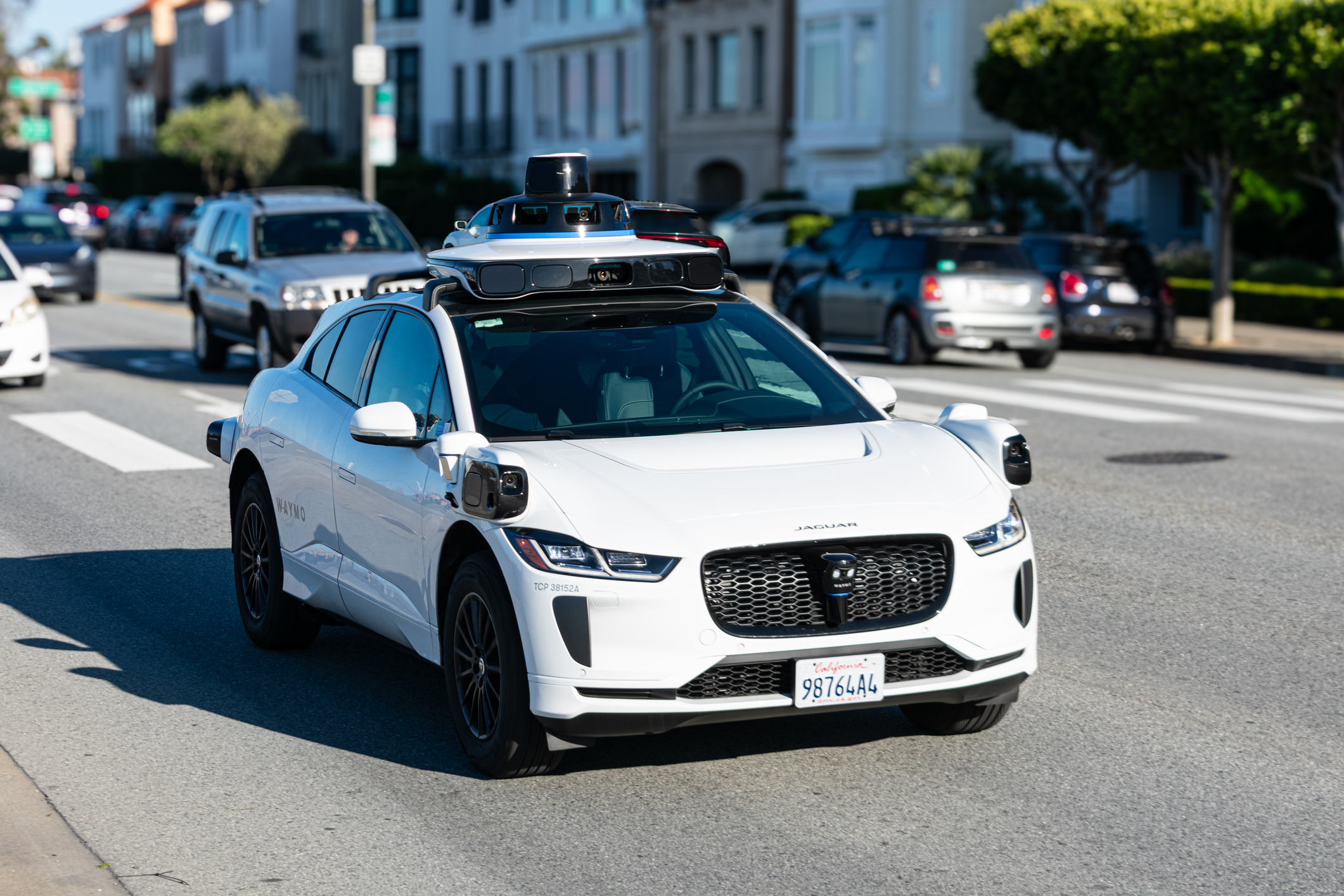
Autonomous driving company Waymo and satellite mapping provider Waze have announced a pilot project to detect and provide up to date information on road potholes.
The two Google subsidiaries have combined to collect pothole data and routes operated by Waymo taxis, and make that available to cities and state departments of transport in the US through the free Waze for Cities platform.
The Waymo data will be aggregated on the platform alongside other user report pothole information, with the aim of giving transport officials an additional and actionable view of surface street and highway conditions.
The data will also be visible to Waze users in the cities where Waymo operates, keeping road users safer by alerting them as they approach a pothole.
Users will be able to identify the Waymo-identified potholes, adding to the accuracy of the data.
According to road management software vendor Vialytics, potholes cost US motorists between US$3 billion to US$5 billion each year in repair bills.
“Waymo is already making roads safer where we operate,” said Arielle Fleisher, Policy Development and Research Manager at Waymo.
“We want to build on the safety benefits of our service by partnering with organizations and city officials to help improve the infrastructure we all depend on.”
Many US cities currently rely on non-emergency 311 reports from residents and manual inspections to address their pothole problems.
This constituent-driven model of road maintenance provides cities with an incomplete picture of road health that can make it difficult to allocate maintenance resources equitably.
The Wayo and Waze pilot program, based on feedback gathered from city officials over the years, is intended to help fill reporting gaps and support cities’ efforts to maintain safer streets.
“We’re always looking for innovative ways to deliver better services for residents, including our own work using object detection through cameras on City vehicles,” said San Jose Mayor Matt Mahan.
“As Waymo’s autonomous fleet travels across San Jose, we appreciate the collaboration with Waymo and Waze as we explore how technology can help identify issues like potholes faster so we can respond more efficiently.”
The pilot will initially launch in five cities: the San Francisco Bay Area, Los Angeles, Phoenix, Austin, and Atlanta, where Waymo has already identified approximately 500 potholes.
Over time, the pilot will expand to more cities, including those with winter weather and harsh freeze-thaw cycles that exacerbate the pothole problem.


