
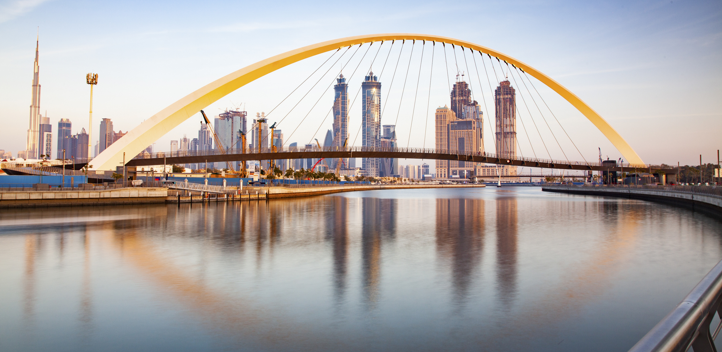
Dubai has completed a mobile mapping pilot survey of its waterways in a project which contributes to the city’s geospatial ecosystem and its Digital Twin project.
The work was carried out using the Leica TRK system mounted on a specially equipped vessel across the Dubai Water Canal in Al Jaddaf, where highly detailed datasets were captured and high-precision 3D models were developed in collaboration with specialised partners.
The project aims to provide highly accurate and continuously updated spatial data that supports vital sectors, enhances asset management, and strengthens sustainable urban planning.
“This initiative forms part of Dubai Municipality’s ongoing efforts to strengthen digital infrastructure by developing an integrated geospatial database that supports the emirate’s Digital Twin project and enables government entities to make accurate and timely decisions based on reliable data,” said Maitha Alnuaimi, director of the GIS Centre Department at Dubai Municipality.
She said the project enhances Dubai’s readiness as a smart and future-focused city while improving the sustainability and efficiency of urban management systems.
The project contributes to Dubai’s ambitious Digital City project, which uses AI, Internet of Things (IoT) sensors and Geographic Information Systems to create a real-time 3D virtual replica of the city, mapping everything from waterways to skyscrapers and underground utilities.
In a striking example of 21st-century policing, Dubai Police recently used Digital Twin technology to overturn the initial conclusion in a bridge fall incident involving a delivery driver.
What appeared to be a suicide quickly became a hit and run case after investigators were able to digitally reconstruct the scene using detailed 3D modelling and virtual reality tools.
Police discovered that the rider’s motorcycle had been struck from behind by another vehicle, causing him to fall from the bridge, with the fleeing driver leaving no trace. The matter has been upgraded to a criminal investigation.
In another example, the Digital Twin was used to solve a structural collapse investigation of a basement parking facility.
What initially appeared to be a mysterious failure was revealed as being caused by repeated water leakage that weakened concrete supports over time.


")


